
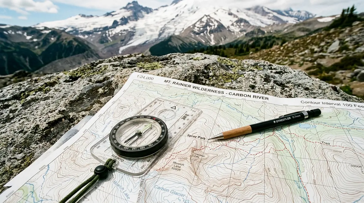
Despite the ubiquitous adoption of satellite-based navigation units and GPS-enabled smartphone applications, the baseplate compass and paper topographic map remain the non-negotiable bedrock of wilderness safety. Electronic devices are susceptible to battery depletion, cold-weather shutdown, software corruption, and signal multipath errors under dense tree canopy or in deep ravines. A solid grounding in analog navigation guarantees self-reliance in remote backcountry terrain.
Deciphering Topographic Contours and Relief Profiles
A topographic map translates three-dimensional landscape topography into a two-dimensional planimetric representation using contour lines. Each contour line represents a continuous horizontal line of equal elevation above sea level.
- Contour Interval: The vertical distance between adjacent contour lines, clearly stated in the map margin (typically 20 feet or 10 meters on 1:24,000 scale USGS quadrangles).
- Index Contours: Every fifth contour line is rendered heavier and annotated with its exact numerical elevation.
- Slope Steepness: Tightly spaced contours signify sheer cliffs or steep ascents, while widely spaced contours designate gentle valleys, plateaus, or river benches.
Recognizing fundamental topographic features is key to rapid terrain association: V-shaped contours pointing upstream signify stream drainages and canyons, concentric loops indicate hilltops or peaks, and hour-glass contour patterns designate saddles and mountain passes.
Magnetic Declination: Bridging True North and Magnetic North
The needle of a magnetic compass points toward the Magnetic North Pole, which shifts dynamically due to molten iron circulation within the Earth's outer core. In contrast, the vertical grid lines of topographic maps align with True Geographic North (the rotational axis of the planet).
The horizontal angular difference between True North and Magnetic North at any given terrestrial coordinate is termed magnetic declination.
$$\text{Grid Bearing} = \text{Magnetic Bearing} \pm \text{Declination}$$
Failing to compensate for declination introduces compounding navigational errors. A declination error of just 5 degrees displaces an off-trail navigator by approximately 87 meters for every kilometer traveled. Over an 8-kilometer trek, this drift results in a 700-meter deviation, easily causing a party to miss a critical trail junction or safe ridge descent.
To configure an adjustable baseplate compass:
- Consult the declination diagram in the map margin or obtain updated magnetic values from NOAA.
- Use the adjustment key on the underside of the compass bezel to rotate the internal orienting arrow by the exact degrees East (+) or West (-).
- Once set, map bearings can be transferred directly to field bearings without mental addition or subtraction.
Triangulation and Resection: Locating Position Without GPS
When uncertain of your exact coordinates along an unmarked trail, resection enables precise positioning using two or three recognizable distant landforms (such as distinct peaks, fire towers, or lake shorelines):
- Identify a visible landmark in the physical landscape that is also clearly marked on the topographic map.
- Sight the landmark with the compass and read the magnetic azimuth off the index pointer.
- Calculate the back-azimuth ($180^\circ$ opposite): if the bearing is less than $180^\circ$, add $180^\circ$; if greater, subtract $180^\circ$.
- Place the compass edge on the landmark on the map, rotate the baseplate until orienting lines match the grid lines, and scribe a straight pencil line along the edge.
- Repeat this process for a second landmark positioned at approximately a $60^\circ$ to $90^\circ$ angle from the first. The intersection of these lines designates your current geographic location.